UAH RO3QET Lidar Introduction
The Rocket-city Ozone (O3) Quality Evaluation in the Troposphere (RO3QET) lidar is a Differential Absorption Lidar (DIAL) located on the campus of the University of Alabama in Huntsville (UAH) at 34.725N and 86.645W at 206-m ASL. The RO3QET lidar is one of the six systems of the Tropospheric Ozone Lidar Network (TOLNet) (http://www-air.larc.nasa.gov/missions/TOLNet) and is also affiliated with the international Network for the Detection of Atmospheric Composition Change (NDACC). This system measured ozone from 0.1 km up to about 10 km during both daytime and nighttime with a temporal resolution of few minutes. The vertical resolutions of the DIAL retrievals vary from 150 m in the lower troposphere to 750 m in the upper troposphere to maintain an acceptable signal-to-noise ratio (SNR) of lidar signal with altitude. Ozone lidars are uniquely capable of providing continuous, high-temporal-resolution measurements of ozone structures.
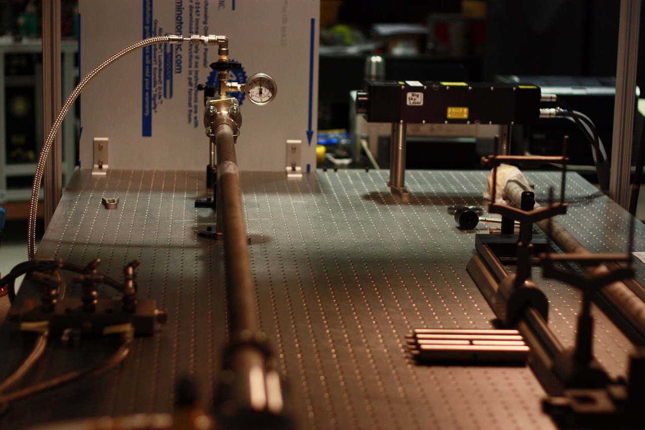
The DIAL technique (Browell et al., 1985) derives ozone concentrations by analyzing how rapidly the backscattered signals at two separate but closely-spaced wavelengths, one strongly absorbed by ozone and the other less strongly absorbed, diminish with altitude. This measurement does not require the absolute signal intensities but only the relative change of the two signals with respect to altitude. Minor hardware changes have been incorporated into this instrument compared to the earlier papers by Kuang et al. (2011, 2013). The laser transmitter previously consisted of two Nd:YAG-pumped dye lasers to generate ultraviolet (UV) lasers. The transmitter now comprises two Raman-shifted lasers at 289 and 299 nm (as of May 2013) for easier operation and higher measurable altitude (Kuang et al., 2017). Two 30-Hz, 266-nm Nd:YAG lasers pump two 1.8-m Raman cells, respectively, with mixtures of active gas (deuterium or Hydrogen gas) and buffer gas to generate 289 and 299-nm lasers.
The receiving system consists of three receivers with diameter of 2.5, 10, and 40 cm. The 10-cm receiver consists of two optic channels with light splitting ratio of 90/10. These four channels measure different altitude ranges to extend both the lowest and the highest measureable range of the DIAL system. Narrow-band solar filters are used during daytime operations to increase SNRs. The detection system employs both photon counting and analog techniques for each PMT to increase their dynamic range. Extensive comparisons of the RO3QET and coincident ozonesonde measurements (Newchurch et al., 2003) suggest this lidar measures ozone better than ±10% in the lower troposphere and ±20% in the upper troposphere.
The RO3QET lidar data have been widely used in various scientific research, such as ozone transport, stratosphere-troposphere exchange (STE), nocturnal low-level jet, biomass burning smoke transport. For details of the lidar data applications, please see the RO3QET publication webpage.
REFERENCES
Browell, E. V., Ismail, S., & Shipley, S. T. (1985). Ultraviolet DIAL measurements of O3 profiles in regions of spatially inhomogeneous aerosols. Applied Optics, 24(17), 2827-2836.
Kuang, S., Burris, J. F., Newchurch, M. J., Johnson, S., & Long, S. (2011). Differential absorption lidar to measure subhourly variation of tropospheric ozone profiles. IEEE Transactions on Geoscience and Remote Sensing, 49(1), 557-571.
Kuang, S., Newchurch, M. J., Burris, J., & Liu, X. (2013). Ground-based lidar for atmospheric boundary layer ozone measurements. Applied optics, 52(15), 3557-3566.
Kuang, S., Newchurch, M. J., Johnson, M. S., Wang, L., Burris, J., Pierce, R. B., ... & Warneke, C. (2017). Summertime tropospheric ozone enhancement associated with a cold front passage due to stratosphere-to-troposphere transport and biomass burning: Simultaneous ground-based lidar and airborne measurements. Journal of Geophysical Research: Atmospheres, 122(2), 1293-1311.
Newchurch, M. J., Ayoub, M. A., Oltmans, S., Johnson, B., & Schmidlin, F. J. (2003). Vertical distribution of ozone at four sites in the United States. Journal of Geophysical Research: Atmospheres, 108(D1). |