
|
|
 |
||
|
Derived
Product Imagery
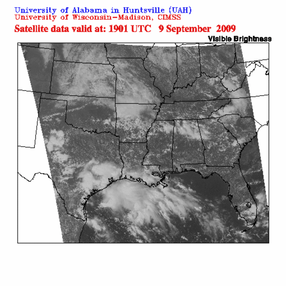
The satellite images found on this site represent the FAA AWRP Convective Weather PDT Midwest Domain. One should compare features seen in these images to products produced by the CI Nowcast system in the "Products" section. All images (except for radar) on this page were collected by the GOES-12 satellite. OR...GOES Sounder data description, animation (Java applet) or current image via UW-CIMSS Real-time GOES Page OR... Current GOES Derived Product imagery and descriptions via UW-CIMSS Real-time GOES Page OR... Higher Resolution Southeast US Composite Reflectivity via UW-AOS |
|||||||||||||||||||||
|
||||||||||||||||||||||
| Our Company | Products | Services | Careers | Contact Us |
| Copyright © 2005 CompanyName. All rights reserved. |